
Drone / Aerial Photography
Drone / Aerial Photography
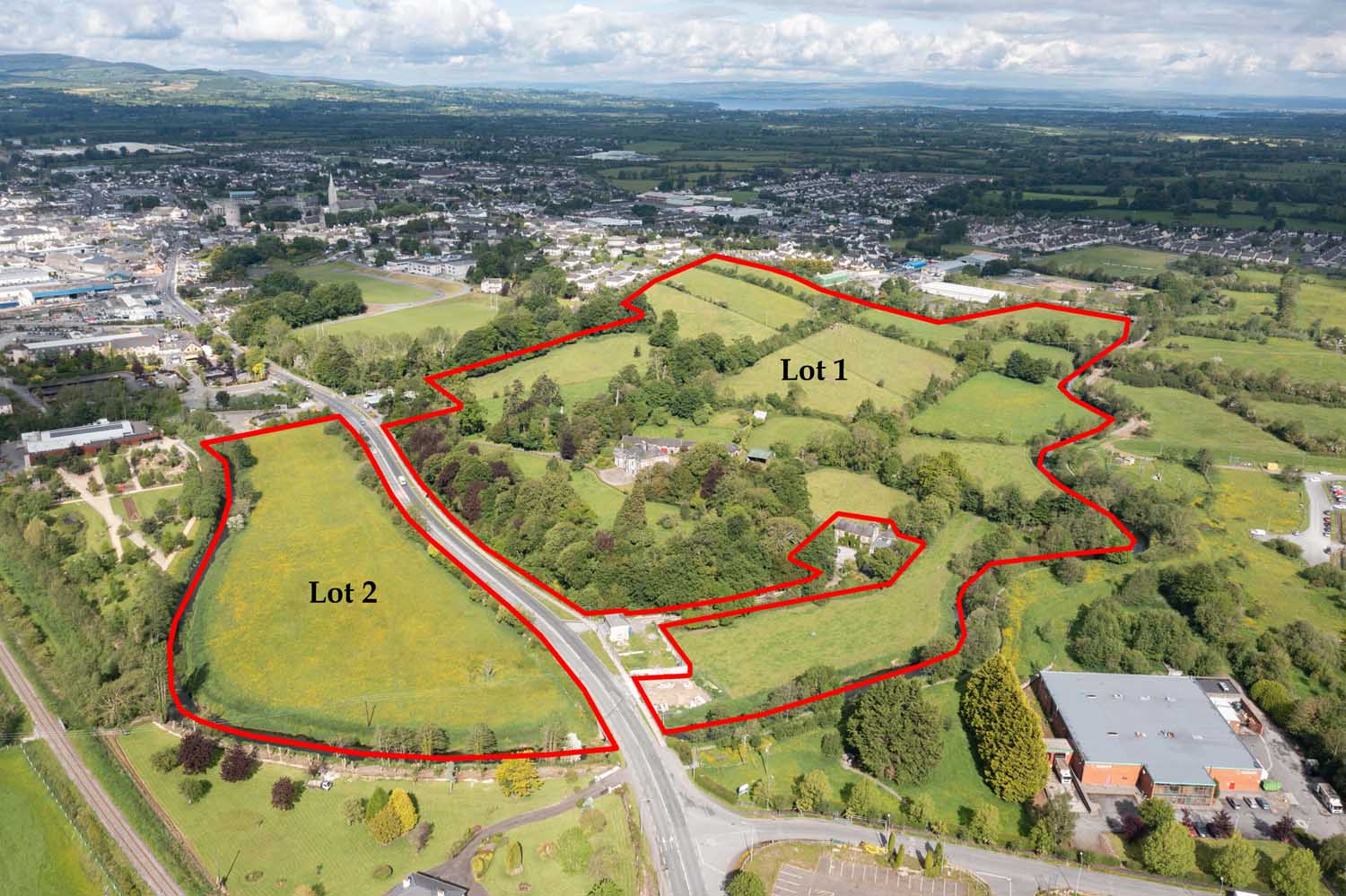
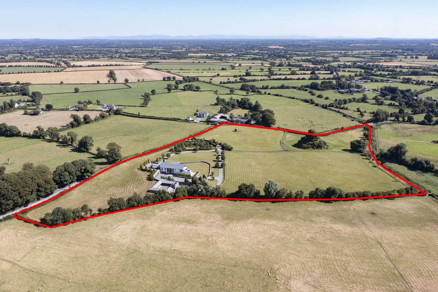
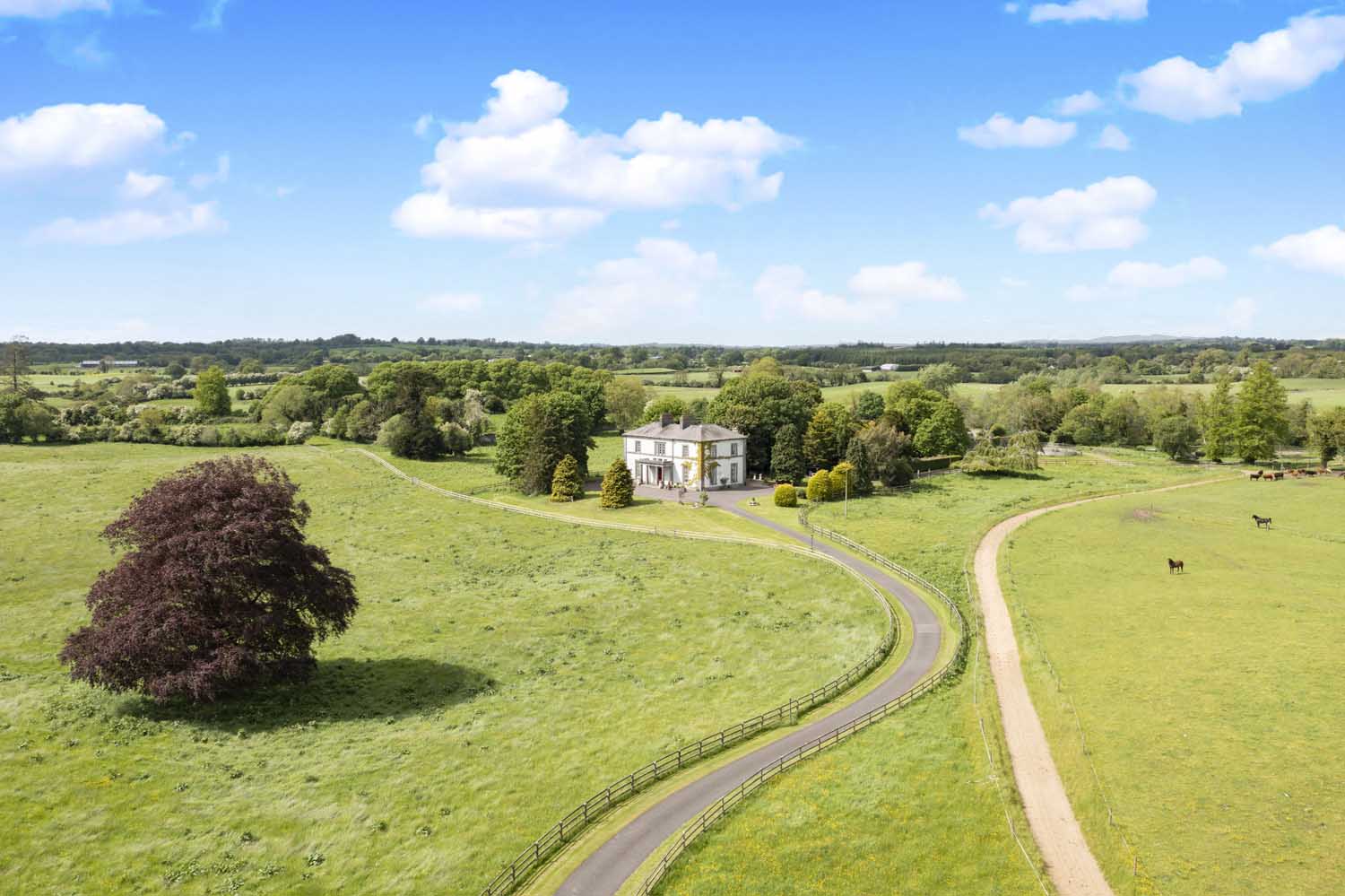
Property Drone / Aerial Photography has become increasingly popular in recent years due to the advancement of drone technology. It provides a unique perspective of a property that was not possible before. Aerial photography allows the photographer to capture the entire property, including the surrounding area, from a bird’s eye view. The photos give the viewer a better understanding of the property’s location and the surrounding environment, which is crucial in real estate transactions. This type of photography is often used to showcase high-end homes, commercial properties, or large plots of land.
In addition to being visually appealing, property drone / aerial photography also serves a practical purpose. The photos can be used to assess the condition of the property and its surroundings, making it easier for real estate professionals to market and sell properties. They can be used to map out property lines, show the relationship between a property and its neighbours, and even to track construction progress. This type of photography is especially useful for those who are looking to buy or sell property in rural areas where access to the land may be limited. With the help of property drone / aerial photography, real estate professionals can provide clients with a comprehensive view of the property, making the buying and selling process easier and more efficient
Date
January 29, 2023